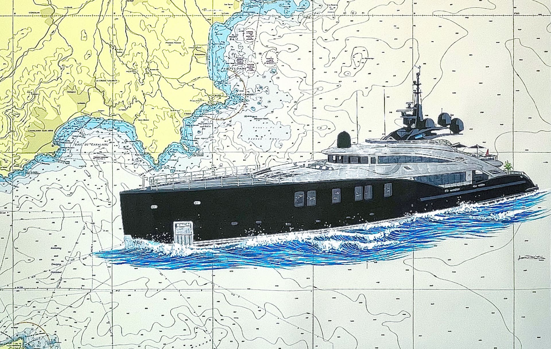
Digital Charts
dsnm advise, manage and support a wide range of digital charting options with offerings tailored to each vessel’s specific onboard navigational setup, operational requirements or crew preference.
Digital charts contain more significant amounts of information with increasing levels of global coverage. When used with ECS/ECDIS, the planning processes and the ability to monitor situational awareness are improved.
This includes official vector charting such as S57 AVCS and Transas TADS, unofficial vector charting such as Transas TX97 and i4 Insight (C-Map Professional+), and also ARCS Raster Charting. All updates are consolidated and managed externally by a dsnm Yacht Manager to ensure the solutions on board work in unison. In turn, this ensures the crew and vessel have access to both official and unofficial data to meet their needs.
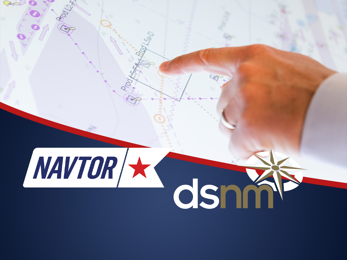
NAVTOR
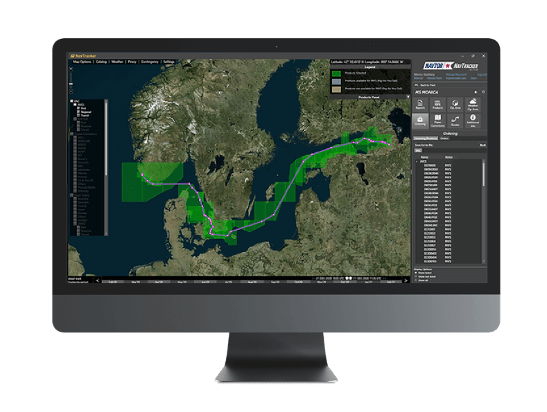
dsnm is a global partner for NAVTOR in the superyacht market. We have selected the market-leading NAVTOR Pay As You Sail digital charting solution to accompany our bespoke navigational management service.
Pay As You Sail (PAYS)
The PAYS service from NAVTOR will only charge vessels for the charts that a navigator will specifically use during a voyage. It also allows instant access to any chart for planning purposes. This flexible, user-friendly and cost-effective way to navigate is now widely accepted by the industry and most authorities.
With PAYS, there are no upfront payments for ENC permits, and complimentary planning charts are always accessible. A vessel is only charged for the ENCs it uses, which are determined by any cell boundaries crossed by the ship’s keel. Tracking for your boat is done via Inmarsat C.
Pre-Licenced ENC’s
NAVTOR also offer a standard or pre-licenced ENC option as an alternative to PAYS. This alternative allows vessels to licence their required ENC coverage ahead of time or for a period greater than three months. Depending on the individual cruising itinerary, dsnm can advise which solution provides the best fit.
Unofficial Charting
dsnm also supply and support Transas TX97, i4 Insight, TimeZero and Navionics. These unofficial formats of digital charting are designed to supplement official ENCs or paper charting in order to provide additional information.
I4 Insight C-Map Professional+
Professional+ is a global vector chart database that navigators have benefited from for years in the ECDIS and ECS. The chart sources are based on official charts (both paper charts and digital charts). The charts produced by i4 Insight should only be used as navigational aid. This data, however, facilitates the full functionality of an ECDIS and is an excellent training choice for navigators before switching from paper to ENC.
Compass users receive a worldwide licence for i4 Insight C-Map Professional+ charts, which is included in their subscription.
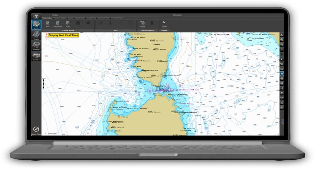
Transas TX97
Transas compatible TX97 Electronic Vector Charts fully comply with international quality standards ISO-2000:9001. The Transas TX97 database is updated with ‘Notice to Mariners’ issued by various countries’ Hydrographic Organisations. The chart database provides global coverage that can be purchased in areas or zones. TX97 also offers several auxiliary or enhanced folios covering areas that typically have poor levels of ENC coverage.
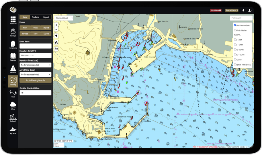
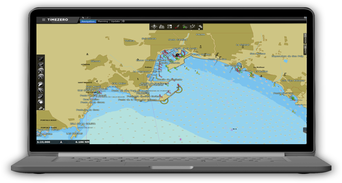
TimeZero
TimeZero is a suite of products that provides over 6,000 worldwide nautical charts. This software offers Raster and Vector charts taken from C-Map data and performs as a comprehensive second format of data for remote cruising locations.
Related News


Contact DSNM
Longmoor Farm Buildings, Cranbury Park, Hocombe Road, Otterbourne, Winchester SO21 2RH